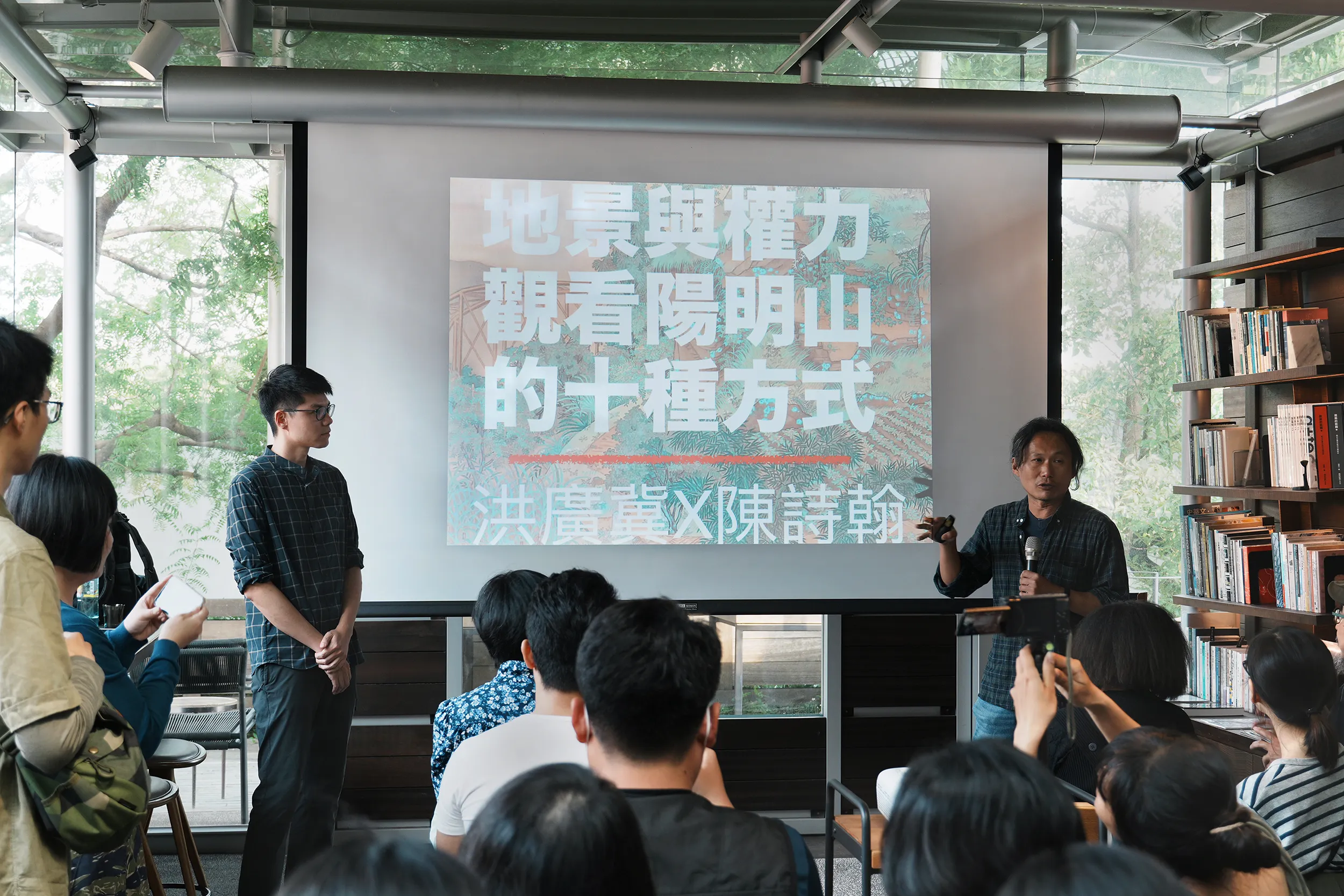
Kuang-Chi Hung Associate Professor, Department of Geography, National Taiwan University
DH Café (No. 153, Section 3, Zhongshan North Road, Zhongshan District, Taipei City)
$150 (Paid upon arrival, drinks and snacks are available at the venue)
Beginning in November 2023, Associate Professor Kuang-Chi Hung from the Department of Geography at National Taiwan University curated the special exhibition Uncultivated Lands: Where Power Meets at the National Taiwan Museum. Running for one year, the exhibition primarily uses three historical paintings to depict the intertwined aspects of Taiwan’s forest and wilderness landscapes, including natural resources, ethnic relations, and state power.
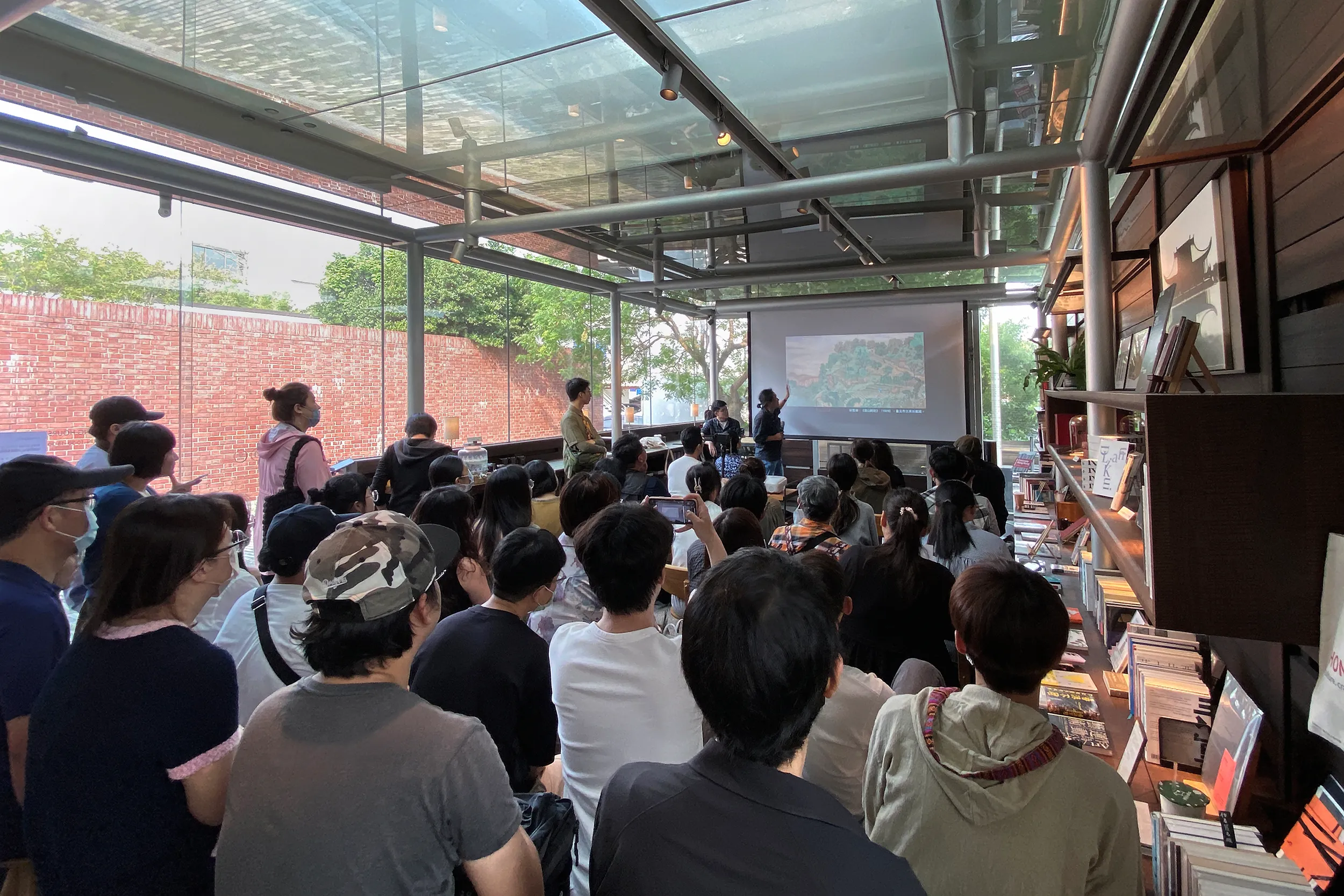
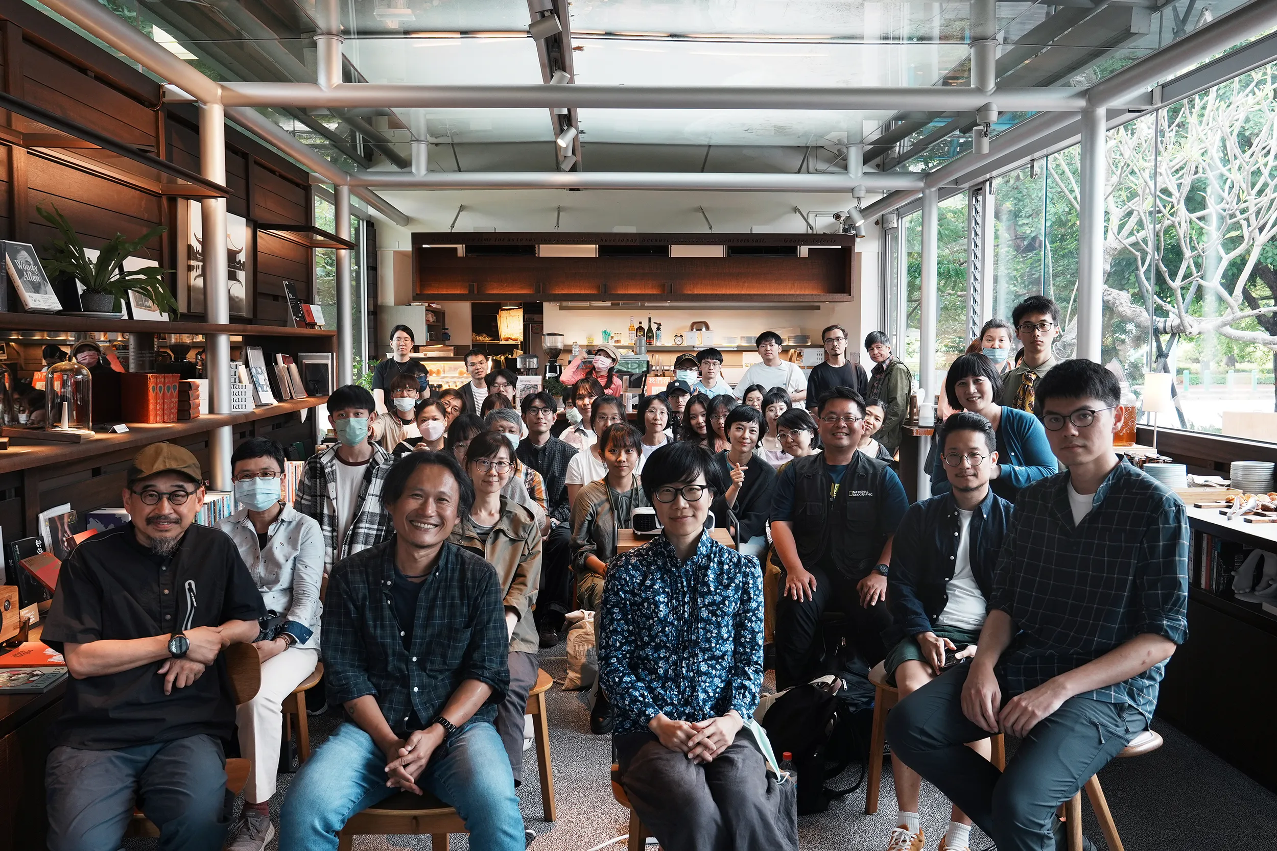
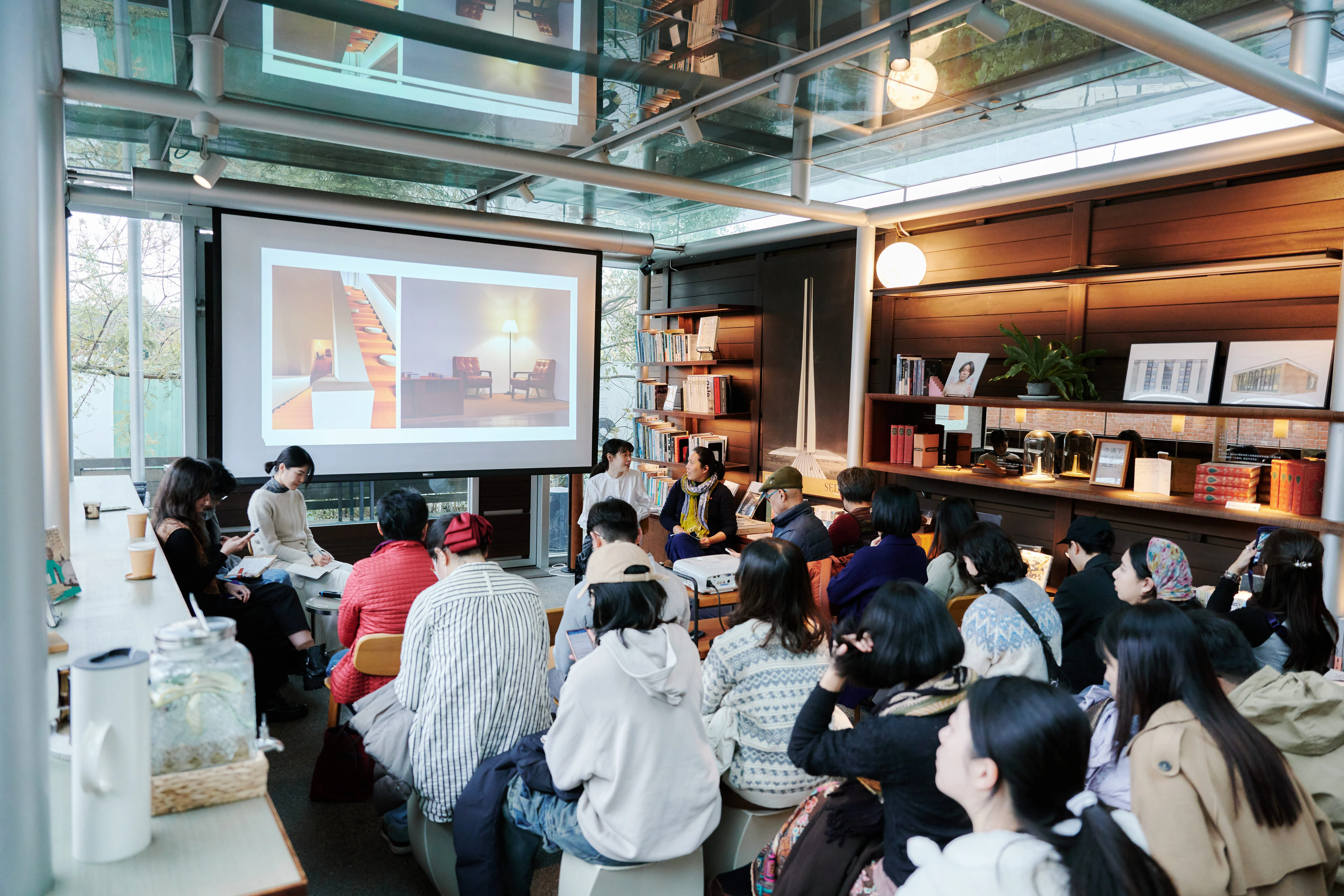
The second Yangmingshan Art Festival not only connects with the Tianmu Aqueduct Festival but also features DH Café, located within the aqueduct drainage basin, participating in dialogue and exchange. The second lecture in the series specially invites Hung to present a perspective on the natural landscape embodied by the exhibition. This dialogue engages with the festival’s theme “Satoyama Satoumi,” guiding audiences to understand how Yangmingshan’s natural forests and wilderness have transformed in terms of landscape significance under the influence of national development and across different historical periods.
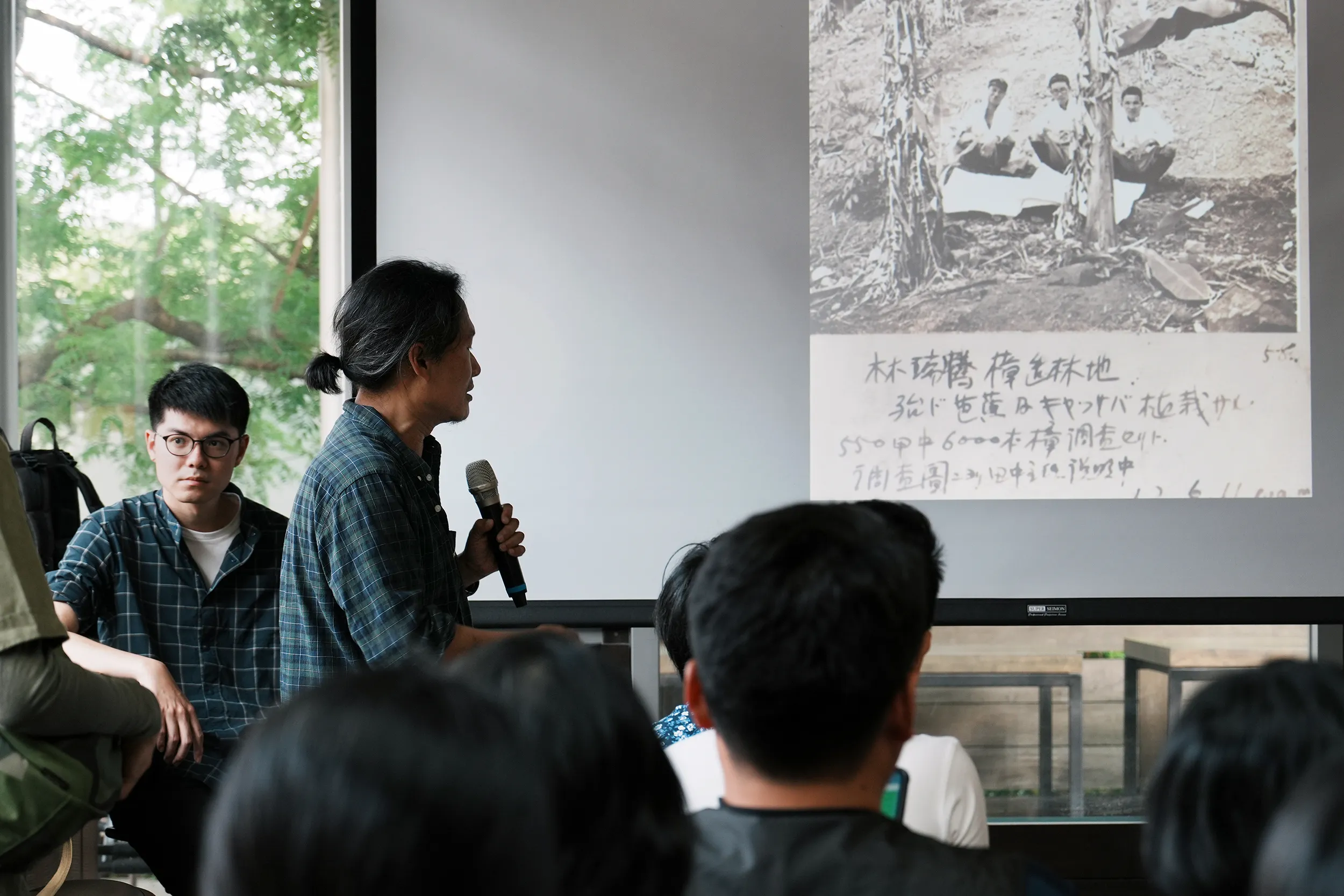
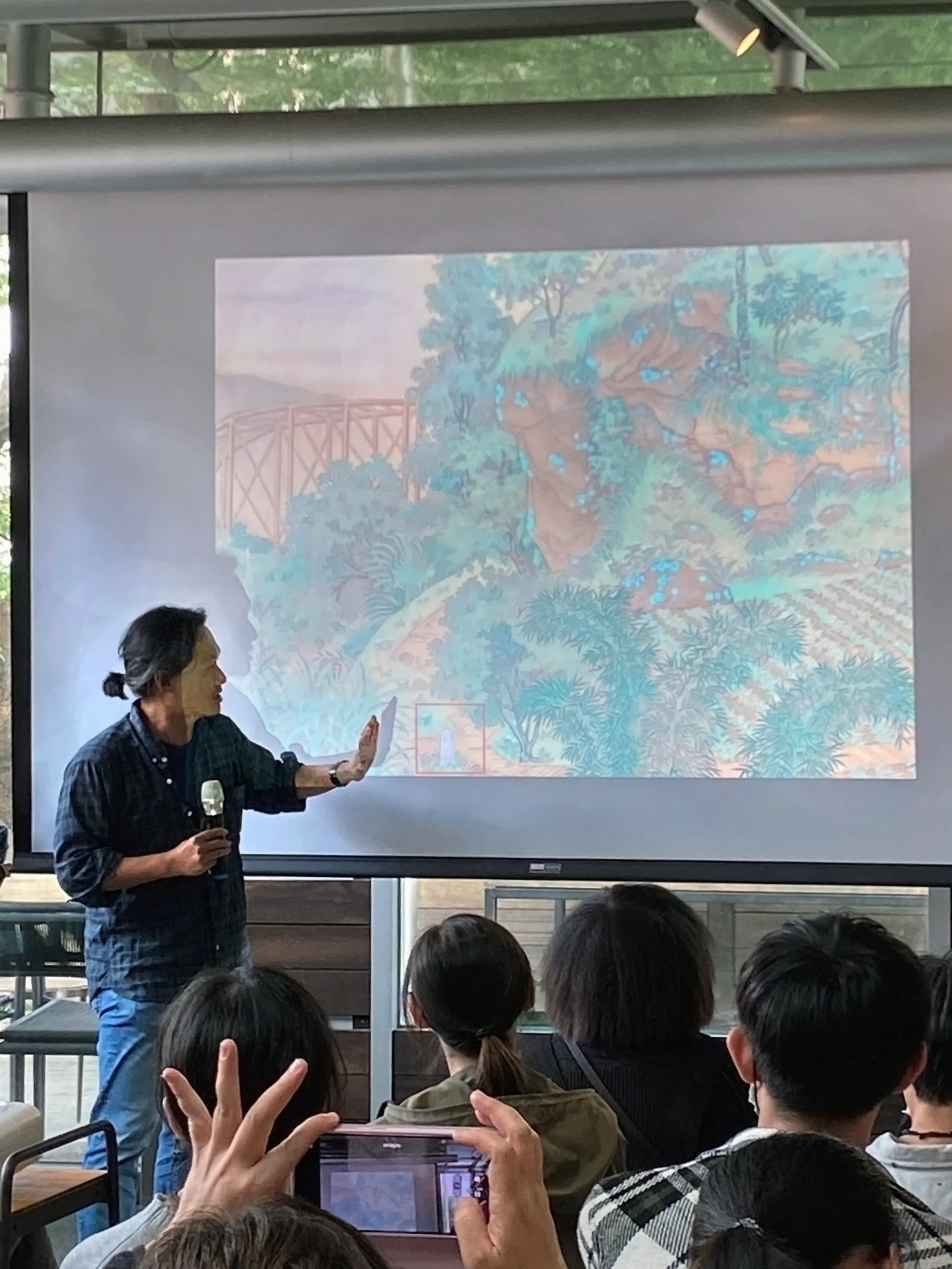
During the lecture, Hung will select ten historical maps and paintings of the Yangmingshan, Yuanshan, and Datun Mountain areas to guide the public in rediscovering the low-mountain landscapes of the Greater Yangmingshan region through the artistic perspectives of these historical works. Among these is Hsueh-Hu Kuo’s 1928 painting Scenery near Yuan-Shan, which features a square stele inscribed “No. 4” in the lower-left corner—a protective forest boundary marker. What historical developments does this marker reveal?
From forest boundary markers to national development, Hung will guide us in understanding the historical significance of Yangmingshan’s landscapes and the shifts in state power embedded within them. Let us reflect on humanity’s relationship with the natural environment through this dialogue between art and nature.
Professor Kuang-Chi Hung traced the evolution of Taiwan’s landscape from the island’s formation millions of years ago, through the Qing Dynasty’s indigenous landholding system and the security forests under Japanese rule, to the gradual emergence of what would become Yangmingshan National Park after the KMT government relocated to Taiwan. He shared numerous fascinating archival materials, among which the 1928 painting Scenery near Yuan-Shan by artist Hsueh-Hu Kuo proved particularly intriguing. The scene depicted in the painting can be seen as a clever fusion of human intervention and nature. However, the “Boundary Marker No. 4” hidden in the corner of the picture reveals instances of encroachment into the security forest for cultivation. Later research confirmed that this boundary marker belonged to the Shinto-style scenic forest. Hung’s analysis of this painting introduced a definition and understanding of the landscape beauty of the Datun Mountain group. Here, one can observe the “natural” state in which humans and the natural environment are interwoven. This “natural” state differs from the ‘natural’ concept of an untouched forest devoid of human presence. Instead, it does not exclude human elements but rather allows humans and the environment to coexist closely and harmoniously in a certain way. Meanwhile, the dynamic between local communities and government—where policies are met with countermeasures and a “turn a blind eye” approach—also helped shape this landscape. This hybrid terrain may well be the artistic vision Hsueh-Hu Kuo sought to convey.
Shi-Han Chen further explored the evolution of the Datun Volcano Group leading up to the formal establishment of Yangmingshan National Park in 1985. As a descendant of a family that has lived in the Yangmingshan area for generations, Chen draws on data from his research to eloquently describe how this natural forest landscape has evolved under the influence of national development across different historical periods. He highlights how differing definitions of national parks between the United States and Japan were reflected in the initial planning discussions—the former envisioned “wilderness untouched by humans,” while the latter defined it as “landscapes that include human presence.” Due to the unique landscape of the Yangmingshan area and the rapid urban expansion of the Taipei Basin, the American methodology was deemed unsuitable for planning. Consequently, the Japanese approach was adopted. After years of adjustments to the institutional framework, scope, and direction of national park development by the forest management authorities, along with countless negotiations among management agencies, local residents, and central and local governments, the Yangmingshan National Park as we know it today was finally established.